
sky sprint 10km
6 pm friday March 28, 2025
Where: The Pavillion, Pioneer Park, Bright
Distance: 10.5 km
Elevation: 525m Ascent+-
Cut off: 3 hours
Prize Presentations for Podium and Age Group Winners: 7:30 PM
Course Description
The 10k course takes the runners to the Summit of Mystic Bike Park and back down in a loop that requires strong climbing legs and proficient downhill technical running skill in order to conquer the course.
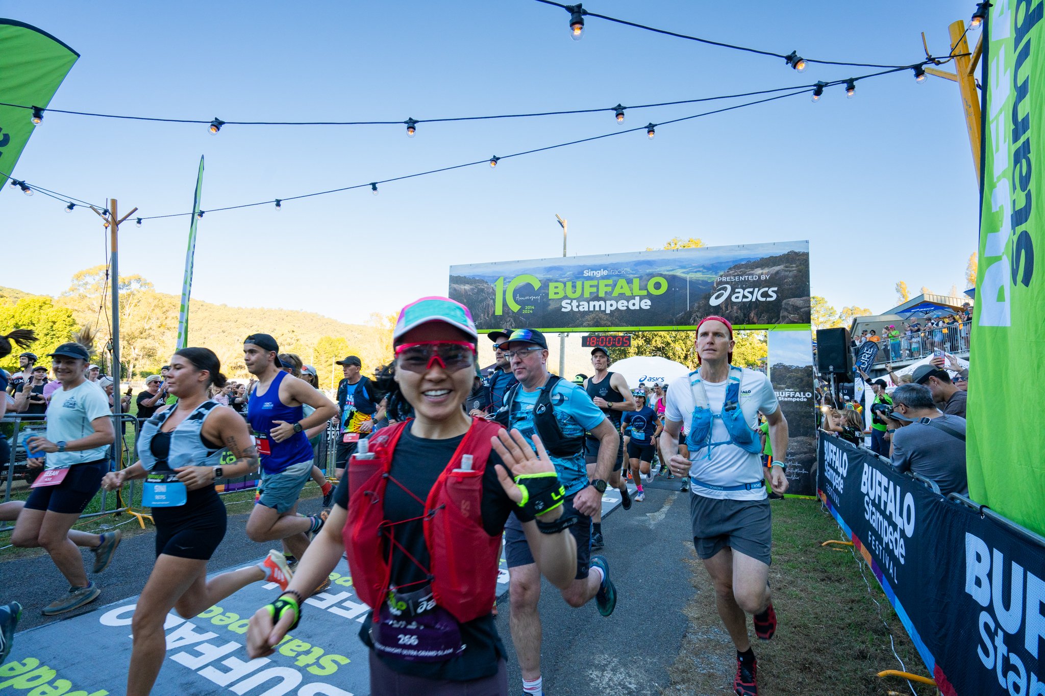
Runners start under the Arch at the Pavilion Event Village and run 800m along the flat wide paved roads of Pioneer Park before joining onto the Wandiligong walking track, a spacious dirt trail along the side of Morses Creek. After 1.4km runners enter Mystic Bike Park and stick to the Shuttle road until it turns upwards and the real race begins. At 2k the course ascends Emily's Spur, a steep dirt track that is unrelenting in gradient. It is a 440m climb of vertical metres, in just over a mile. It is a challenge for any level of runner, whether they are trying to race for the win or simply make it to the top. With views along the ridge line for the entire journey, it doesn't get more spectacular than this.
The course then summits Mystic and the panoramic views of Mount Buffalo and Bright open up. After heading on the trail around the back of the Paragliding launch pad, runners have the chance to refuel and hydrate at the aid station before tackling the second part of the course, the downhill!

Starting with the black MTB trail of Elevation, runners will need to be well balanced and nimble footed to descend the top section. Weaving through the Pine trees, the trail crosses the shuttle road three times before finally leaving the ridge line and turning East back towards the Event Village. This section of Elevation is the most narrow and loose rock. For those with better climbing and fitness, they may find themselves being passed by those with quick feet and dancing skills.
After a steep 1.7km down Elevation Trail, the course hits Hazeldine Rd for a nice gradual climb in the trees along a beautiful sidling track. This may be a nice reprieve from the steep downhill, or perhaps the slight climb will burn the legs as you ascend to the next downhill trail, Corkscrew. This is another black MTB trail, however it allows a runner to let go a little and trust the trail. Zoom down it to the best of your ability until you get to the intersection and head straight onto Grevids Way. Runners will descend this uphill MTB trail, and so it is far less steep and has lots of switchbacks.
At the end of Grevids Way comes Robinson Rd and the need to climb the wide dirt road for just over 500m before arriving back at Emily's Spur. This time runners will be directed down another UP track called Up and at Em. This again has lots of switchbacks and flowy downhill. Runners will pop out on White Star Rd with all the climbing and descent done! Now time to hit the Flying Solo trail and blast the final 2k back along the river trails and to the finish line, where it all started.
The Course
AVENZA MAP
This maps allow you to locate yourself when on the course (or not on the course and trying to find your way back to it!). In other words, when you arrive in Bright and you are on the map area, you will see your exact location and the direction your phone is facing show up on your screen. This is invaluable to anyone running any of the races as you can always be sure you are on course or how to get back to it.
AVENZA Maps is an App you can download from your App Store. You will need to create a free account, you can search "Buffalo Stampede 10k 2025" in the AVENZA App "Store" and see the Map to download. Or you can click the link to the map of your race below. Just a quick tip that this is all easiest to do from your phone.
You will see that you can buy and download the race maps for free on AVENZA and once downloaded, they are always in the app and loaded. So when you are out on course, and you don't have reception, it doesn't matter, you can still see the entire map and where you are on it.
Try it out NOW, load your map(s), zoom in and out and familiarise yourself with the course. You will notice that having the AVENZA Map downloaded to your phone, or having the GPS route loaded to your watch, is part of the Mandatory Gear.

FAQs
-
Race Entry
GST and registration platform fees
Professional on-course sports photography available for purchase
Coveted Finishers Medallion
Fully marked course
Expert event medical support
Professional event timing
Post-event celebration beer!
-
- Mystic Launch: 3.7km, 480m+, 20m-
- FINISH: 6.8km, 45m+, 505m-
-
- START The Pavillion, Pioneer Park: 6 pm
- Mystic Launch: 7:30 pm
- FINISH: 9 pm
-
No crew access on course.
-
The 10k runners will not have their gear checked when picking up their bib on Friday arvo. However there will be random spot checks on course and at the finish line. Runners must carry ALL the mandatory gear at all times.
Waterproof Jacket with hood. Must be made with a waterproof and breathable membrane. The hood must be attached to the jacket by the original manufactured design and must be seam sealed. Must be suitable for protection in bad weather in the Mountains. (OPTIONAL, not MANDATORY)
500ml Litre of liquid storage capacity
A working torch
Fully charged Smart Phone that is switched on.
AVENZA App with Map downloaded OR GPX file uploaded to your GPS watch.
Collapsible cup 150ml (recommended, this is a cup free event)
The 10km Sky Sprint is a registered with the International Trail Running Association (ITRA).
All runners who complete the course will gain qualifier points for their ITRA Performance Index.