
skyrun 20km
7:30 am Saturday March 20, 2027
WHERE:Event Village, PIONEER PARK, BRIGHT
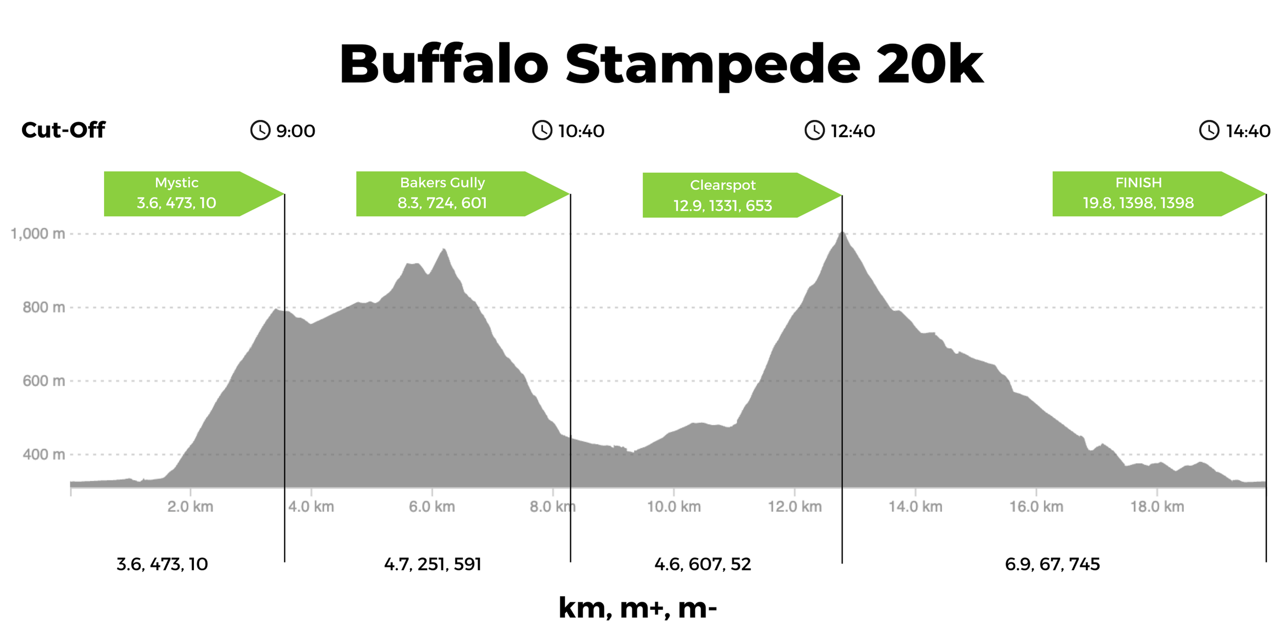
Stats: 20 km, 1400m +/-
Wave Starts: wave 1 (7:30am); Wave 2 (7:35am); Wave 3 (7:40am)
Total Cut off: 7 hours
Prizes:
1st🥇$500 > 2nd🥈$300 > 3rd🥉$200
Course Description
The SkyRun 20k is a perfect combination of mountainous trail running, and steep terrain in a small enough package to get it done before lunch. It incorporates the iconic summits of Mystic and Clearspot. It has a bit of everything, and therefore it requires a full spectrum of challenges to overcome to get to the finish.
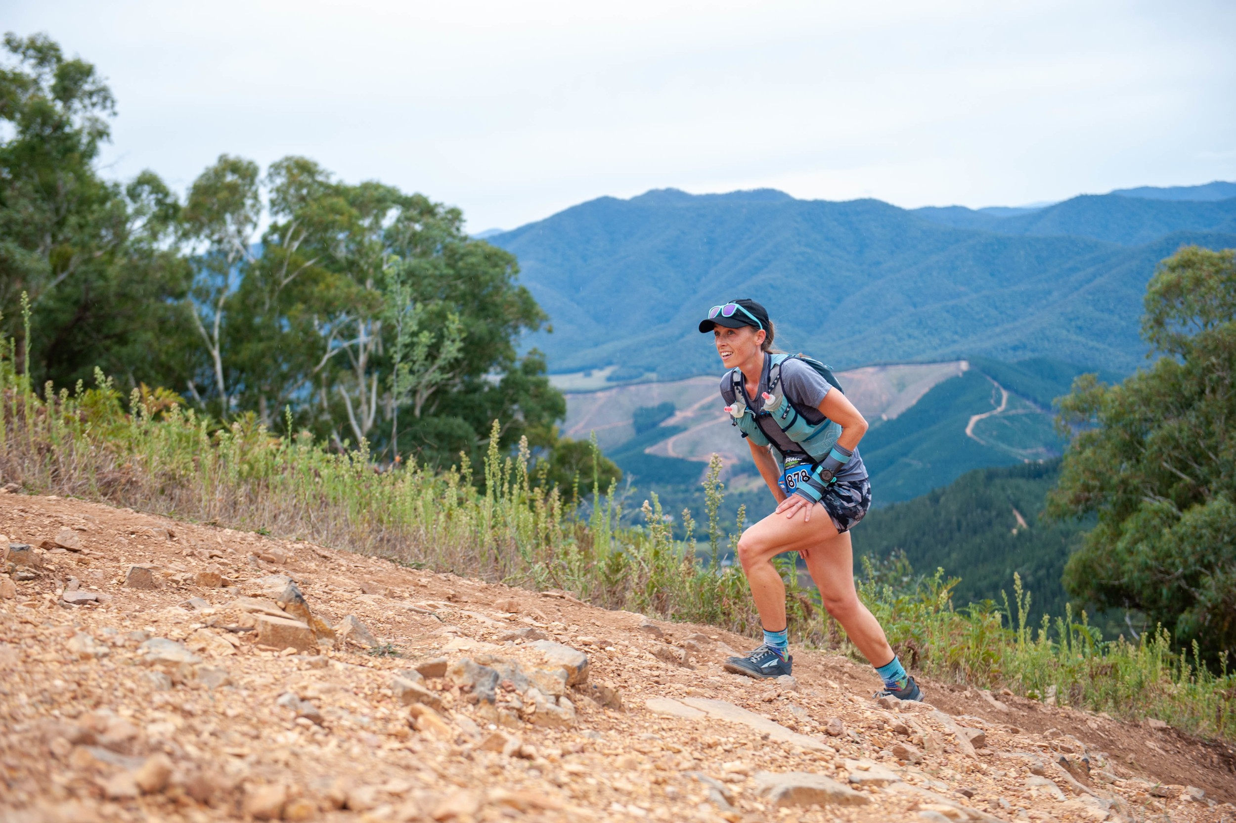
Starting at the Pavilion at the Event Village in Bright, the 20k starts on Pioneer Park's wide paved roads before hitting the river trails to Mystic Bike Park. After a short stint on the shuttle road, runners turn upwards and tackle the infamous climb of Emily's Spur. In a mile, the course climbs 440m along the exposed ridgeline, with epic views. Summiting Mystic and seeing the views from Mount Buffalo to Bright, it might not feel like it, but it means the journey has only just begun.
Take a quick refresh at the aid station just after the launch pad and then continue downhill along the road. Here the course runs along Water Reserve Track. This trail is one of the most regularly used link ups in the area and is part of the famous Mystic - Clearspot Loop from Bright. It follows the high point through the natural bush from Mystic MTB park to the top of Middle Track. Along the way there are many rolling descents as the trail trends upwards.
The course descends down Middle Track, a technical rocky single track that is steep in sections. Be mindful of other runners as there will be a wide variety in the speed of each runner around you. This downhill will suit some runners much more than others. At the bottom there is the Bakers Gully Aid Station. Crew are allowed here if they want, but they may have to fight for car parks.
From here the course winds it’s way down the idyllic Bakers Gully trails. Mostly downhill, the tight single trails weave their way through the trees. Runners will reach a cuorse marshal and be directed sharp Left and across the road to join Breen Rd. This beautiful graded road climb is a nice warm up for what is coming. This links you onto the steep climb to Clearspot. Warning, this climb will break many souls. It is tough, steep, long and everything that the Buffalo Stampede 20k has become known for.
At Clearspot, take the time to soak in the view of the Victorian Alps. Touch the cairn at the summit and stop yourself from drooling as you gaze over to the West at Mount Buffalo. Spare a thought for the 100k runners that have to run there and back!
The crux of the race is done and so is almost all of the climbing. However take your time at summit, because the descent is long and steep directly to town. The descent down the main spur is not as steep as the climb and rolling at times. It changes constantly to keep you literally on your toes. As you come close to the town, you’ll take a slight detour through Bakers Gully to stay clear of the busy town roads. After scooting around the back trails of town you pop out onto the streets of Bright, and run into Pioneer Park. Soak it all up, you are a weapon!
MAPS
-
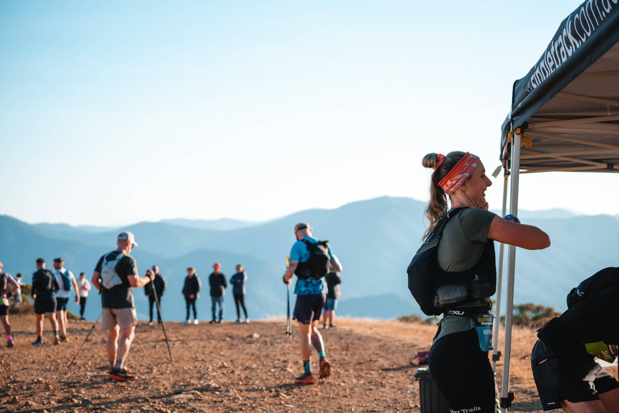
There are many places over the course where spectators and crew can see their runners. All Aid Stations are easily accessible in 2WD. If you want to drive to Clearspot to spectate or crew, please be aware that it can be confusing to find your way and there is limited Parking.
-
There will be 3 Waves Starts for the 20k. This is to reduce trail congestion due to the large field sizes. We believe this will improve runner’s experience of the race and allow you to enjoy the beautiful trails.
START TIMES:
WAVE 1 (Front runners) - 7:30AM
WAVE 2 (Mid pack) - 7:35AM
WAVE 3 (Slower) - 7:40AM
Runners Times will be based off chip timing. Runners will be allowed to start in whichever Wave they choose. Be aware that usually we have 60% of runners choosing to be in Wave 2, so if you want to avoid congestion, you may do better to start in Wave 3.

The 20km Sky Run is a UTMB® World Series Qualifier Event.
All runners who complete the course gain qualifier points for their UTMB® Index.
Runners with a valid UTMB® Index will have privileged access to register for a UTMB® World Series Event or UTMB® World Series Major and will use their UTMB® Index to validate their entry into the UTMB® World Series Finals lottery.
The 20km Sky Run is a registered with the International Trail Running Association (ITRA).
All runners who complete the course will gain qualifier points for their ITRA Performance Index.